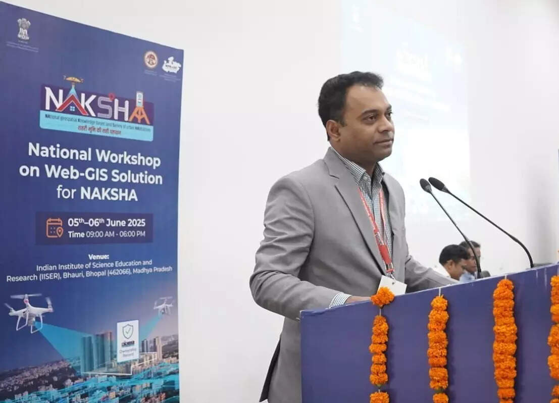
BHOPAL: The Department of Land Resources (DoLR), Government of India, in collaboration with the Madhya Pradesh State Electronics Development Corporation (MPSeDC), hosted a National Workshop on Web-GIS under the NAKSHA Programme on June 5 at IISER Bhopal.
The NAKSHA (National Geospatial Knowledge-based Land Survey of Urban Habitations) programme aims to transform urban land governance in India using geospatial and digital tools to create real-time, transparent, and dispute-free land records.
The workshop brought together over 200 participants, including officials from 26 states and union territories, municipal commissioners, and representatives from 120 Urban Local Bodies involved in NAKSHA’s pilot phase.
Key speakers included Shyam Kumar (Director, DoLR), Sanket Bhondve (Commissioner, UADD), Vivek Porwal (Principal Secretary, Revenue Department), and Guru Prasad (Project Director, MPSeDC), who emphasized NAKSHA’s potential to reduce litigation and ensure legal clarity in land ownership.
A live field survey in Sanchi using the NAKSHA mobile app demonstrated features like GPS-enabled mapping, multi-ownership entries, and automated drone-to-ground data syncing, highlighting the platform’s real-world scalability and utility in low-connectivity areas.
Officials described NAKSHA not just as a mapping tool but as a socio-legal innovation that supports citizen-centric, tech-driven governance across urban India.